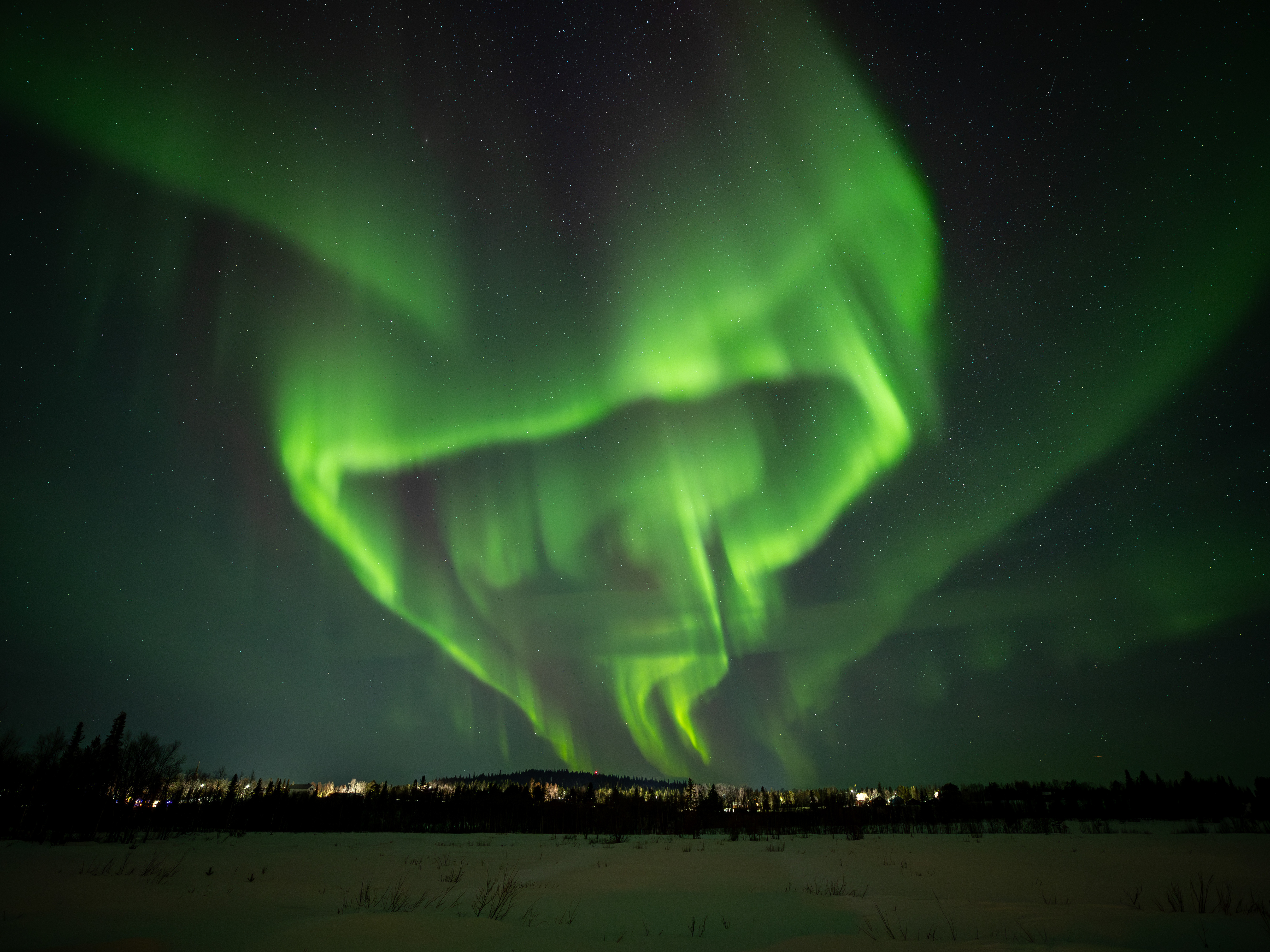

Höga Kusten Bridge

The High Coast Bridge, also known as the Veda Bridge, is a suspension bridge crossing the mouth of the river Ångermanälven near Veda, on the border between the municipalities of Härnösand and Kramfors in the province of Ångermanland in northern Sweden. The area is often referred to as High Coast, hence its name.

Between Utvik and Nordvik, the green landscape of the Hoga Kusten
During the ice ages of the past 2-3 million years, the High Coast was repeatedly covered by continental ice sheet until roughly 9600 years ago. When the glaciers retreated from the High Coast, the ground, which had been compacted by the weight of the ice sheet, went through rapid uplift, a process known as isostatic rebound. This rebound cause uplift of roughly 285 meters, the highest known isostatic rebound on Earth. The region is still rising, on the order of 8 mm per year. Remains of the former shorelines can be seen along the High Coast.

Bönhamn guest harbour on the Hoga coast in eastern Sweden
Lycksele

Vietas on the longest one way route of Sweden 150 km

Dark clouds over Sarek NP

Ritsem with a view on Sarek NP during midnight sun
Sarek looks beautiful in the morning sun.

Ritsem with a view on Sarek NP

E45 stop between Arvidsjaur and Jokkmokk

Lofsdalen

Idre


Idre enjoyng the beauty of nature
Sorken - Norway ( close to the border with Sweden Femund NP)


Nipfjället NP

Städjan rises 1 131 metres above sea level. From the south it looks like a cone shaped volcano, but from other directions the well-known silhouette that has given the mountain its name stands out.
Klövjö
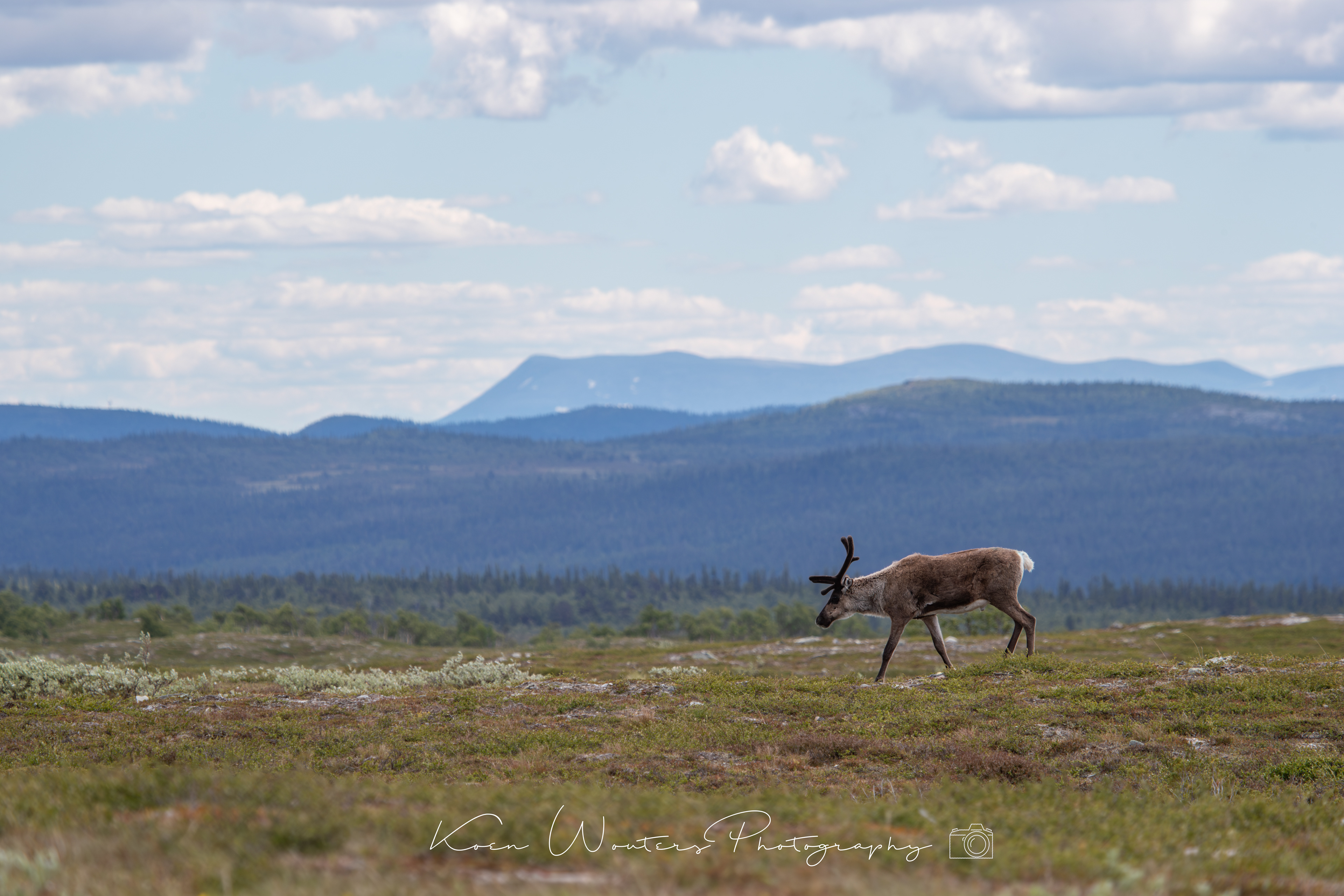
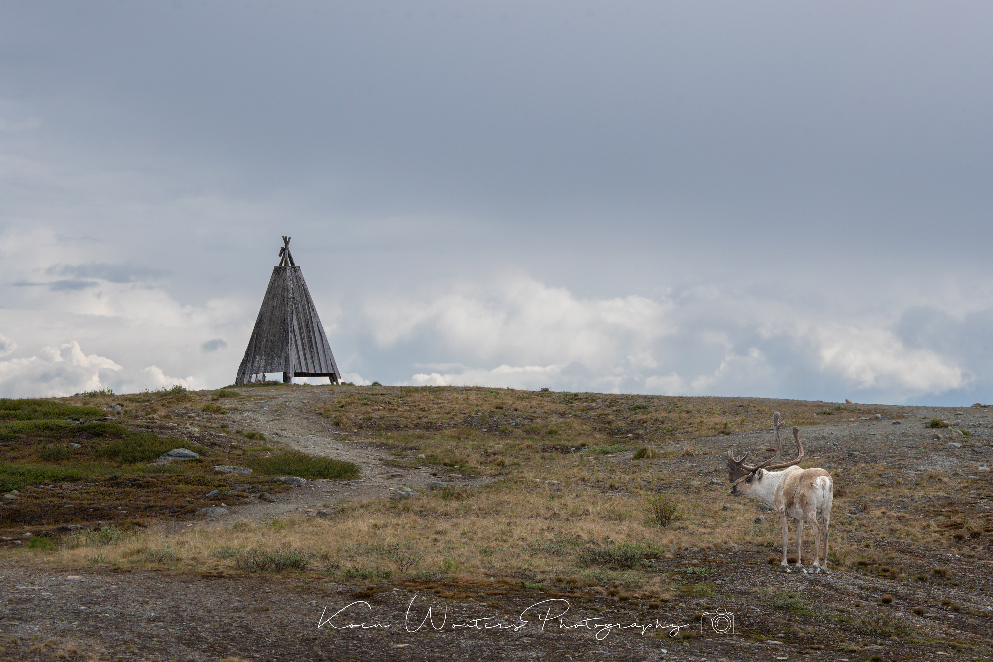
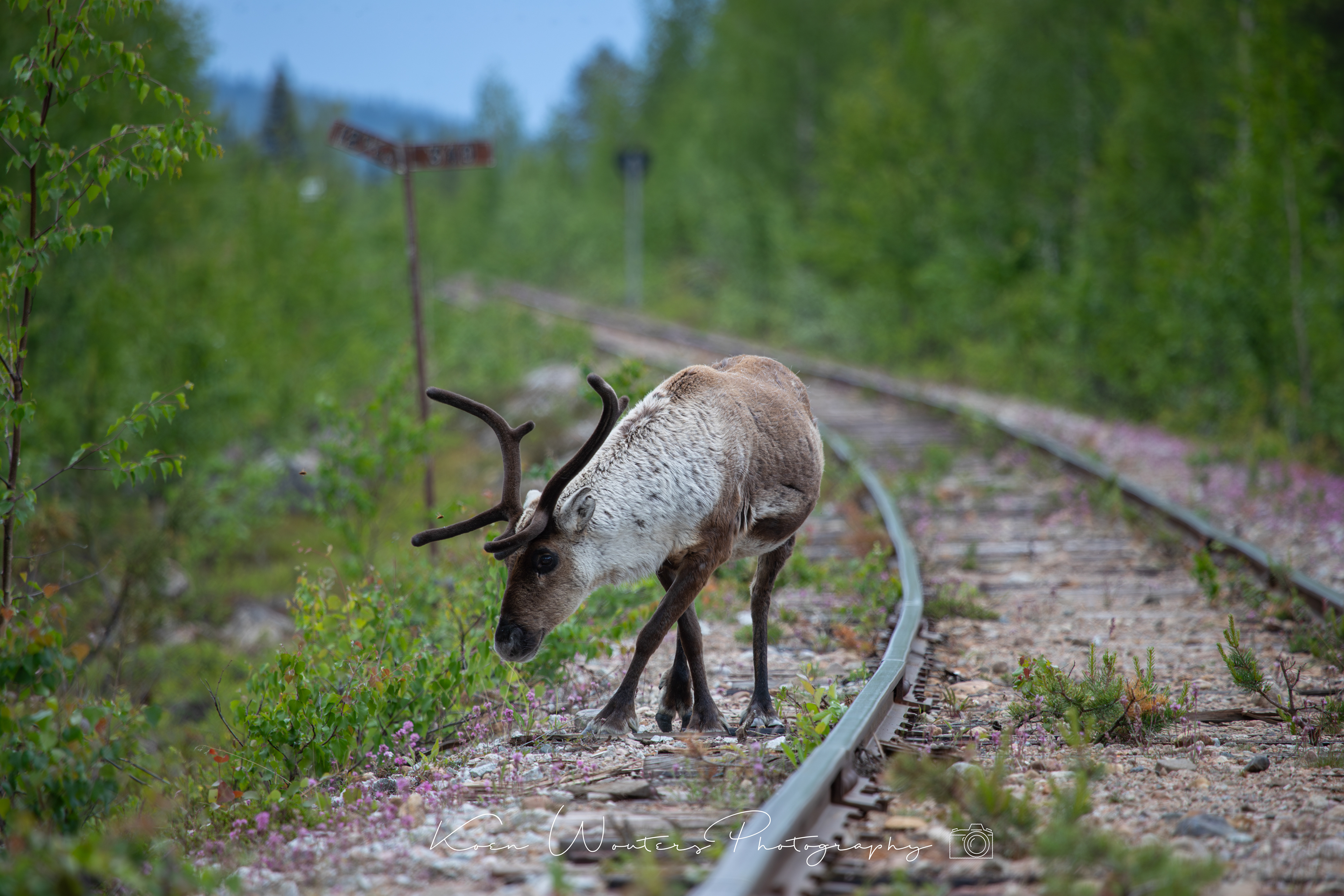
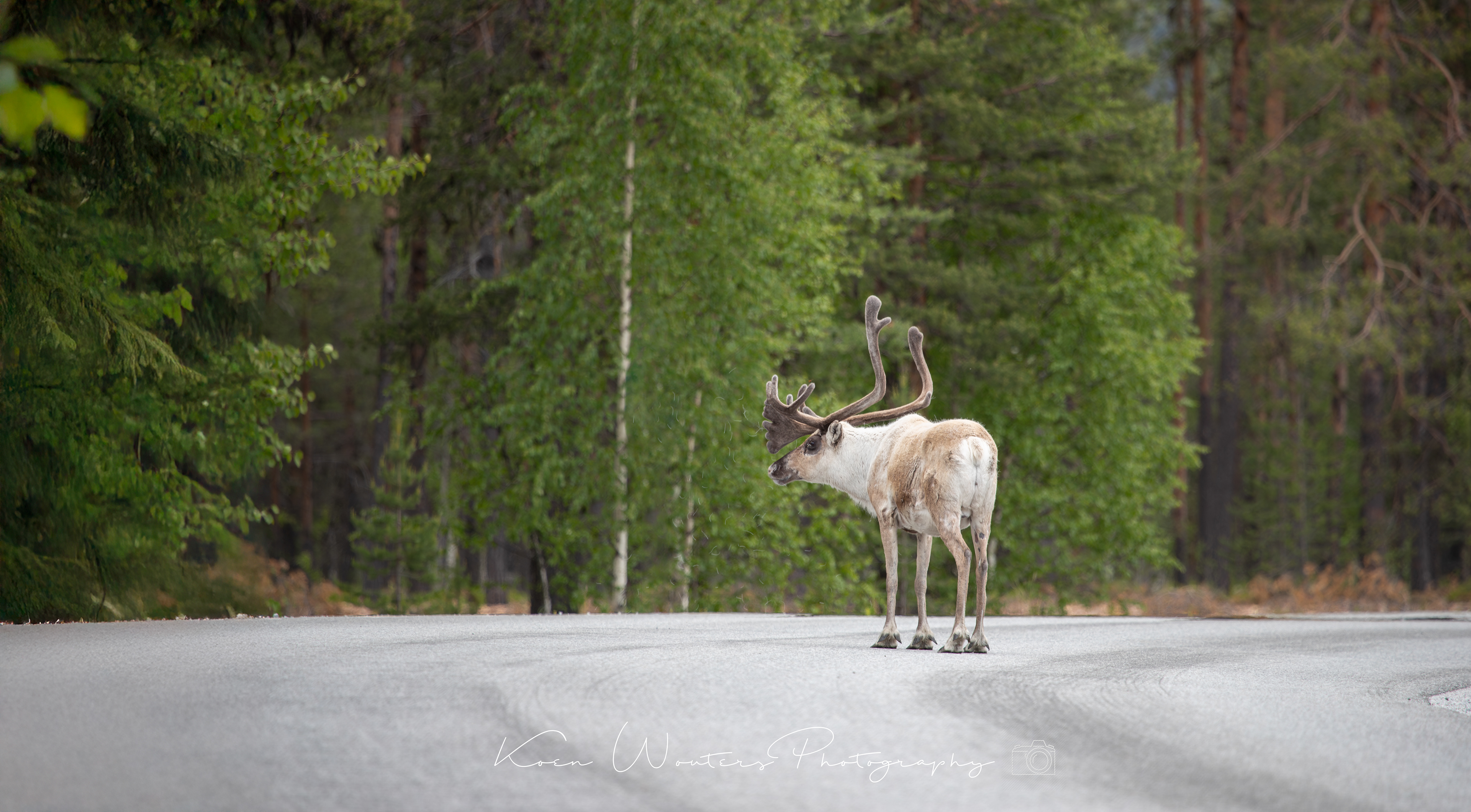
Wildlife on Flatruet
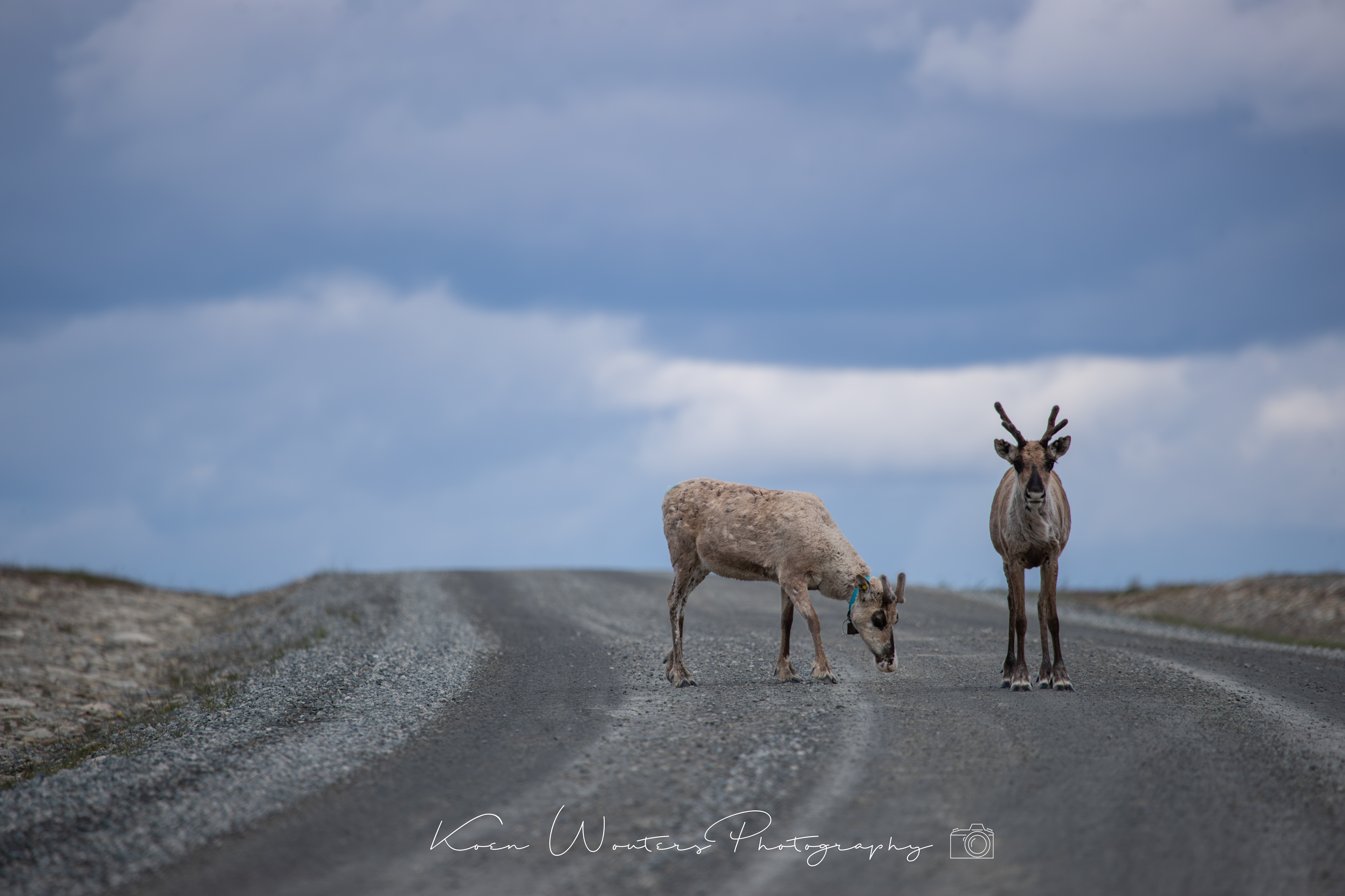
Reindeer on the highest public route of Sweden - Flatruet


Ljungdalen

Flatruet road
Flatruet is a mountain plateau at an elevation of 964m (3,162ft) above sea level, located in Jämtland County, Sweden. It’s said to be the highest public road in Sweden.
Asarna Lapland
Stekenjokk

Stekenjokk is an area of Strömsund Municipality in Jämtlands län and Vilhelmina Municipality in Västerbotten, Sweden, a few miles from the border with Norway. The word "jokk" is Sami for watercourse. The Swedish Meteorological and Hydrological Institute (SMHI) has a weather station in the area. As of 2013 Stekenjokk holds the Swedish record for continuous wind speed, with 47 m/s (170 km/h) recorded during Cyclone Hilde in November 2013. Between Blåsjön (English: the blue lake) and Stekenjokk runs one of Sweden's highest located roads, Vildmarksvägen. Stekenjokk is one of the Sami people's places for reindeer to feed during the summer, and the reindeer and the work around them is part of the nature experience when visiting the area.

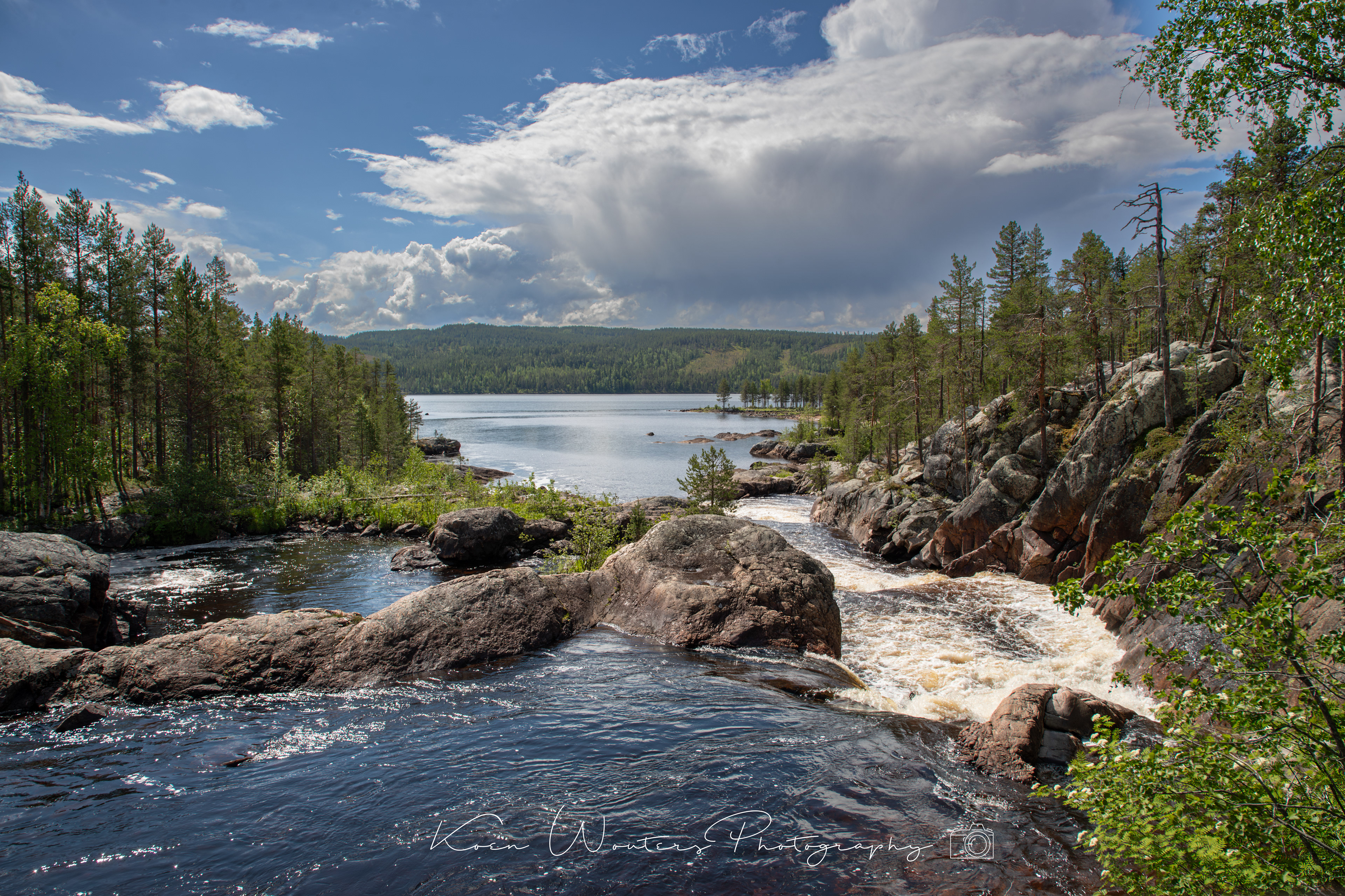
Trappstegsforsen

Saxnäs on the wilderness route a fisherman paradise
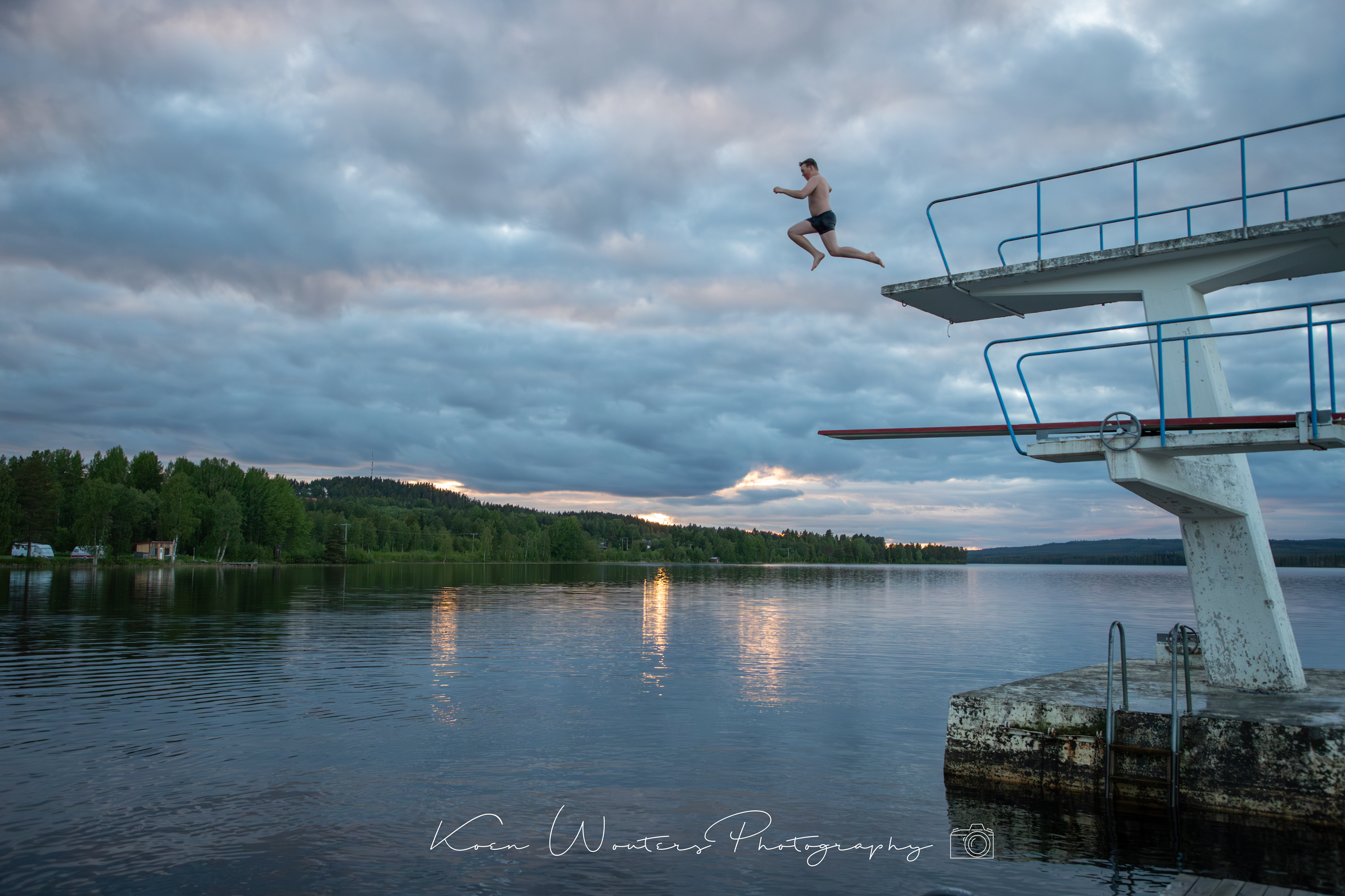
Vilhelmina - time to swim

Jokkmokk

Muddus is a national park in northern Sweden. It is situated in the province Lapland, with its largest part in the Gällivare Municipality. Furthermore, it belongs to the largely untouched UNESCO World Heritage classified Laponian area.Natural scenes include the old growth forest with large trees, large boggy grounds, and deep ravines in between the rocks. Sweden's oldest known pine tree is also located here. It has been estimated to be at least 710 years old, as it was found to have withstood a forest fire in 1413.

Reflections Jokkmokk

Jokkmokk


Hamburgsund


Hamburgsund with it's short ferry transfer